Loading

Products

NAVVIS VLX4

Navvis
NAVVIS VLX4
NAVVIS VLX4
NAVVIS VLX4
NAVVIS VLX4
NAVVIS VLX4
NAVVIS VLX4

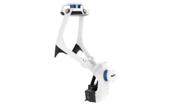
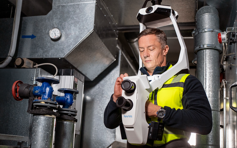
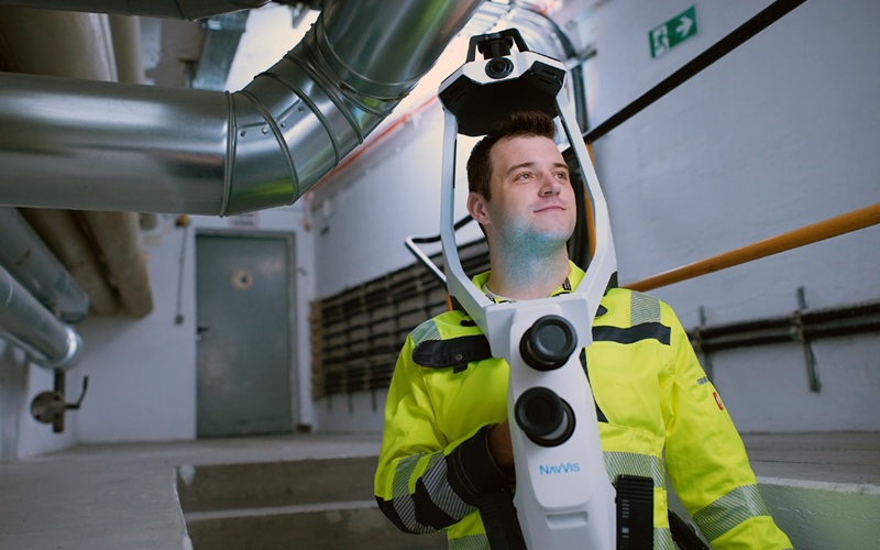
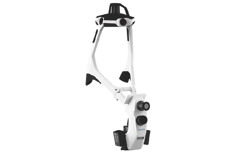
NavVis VLX 4 brings a new level of detail to wearable reality capture. With true 3 mm point cloud resolution and three precision lidar sensors, it captures fine features such as thin pipes, bolts, sharp edges, and complex assemblies while operators move efficiently through demanding technical and industrial environments.

NavVis VLX 4 is the first dynamic reality capture device built for projects that need high-detail data. It combines dynamic scanning speed with true 3 mm point cloud resolution for demanding LOD350+ Scan-to-BIM, MEP and industrial applications.

Applications Geomatics & Utility Inspection, Positioning
Industries Civil Infrastructure, Education & Research, Mining, Oil & Gas, Utilities - Electricity and Water
Highest level of detail from a dynamic scanner 
True 3 mm point cloud resolution, three lidars sensors specifically designed for reality capture, and industry-trusted NavVis software work together to capture exceptional geometric detail - clearly resolving thin pipes, bolts, sharp edges in complex industrial and technical environments for LOD350+ Scan-to-BIM and demanding engineering workflows.

Triple-lidar Architecture
Three lidar sensors deliver the high point density needed to resolve fine details and sharp features, capturing complex geometry from multiple angles in a single pass for cleaner, more complete point clouds.
Built for the real world
Lightweight, ergonomic, and flexible, NavVis CLX supports reliable documentation in occupied or confined areas. 

One Connected NavVis Workflow
Go from capture to deliverable in one connected workflow with IVION. The NavVis ecosystem brings capture, processing, collaboration and integration together - reducing manual steps and keeping projects moving efficiently from site to final output.

No Videos uploaded for this product.

Product Brochures

  1. NavVis VLX 4 data sheet.PDF

Related products