Products
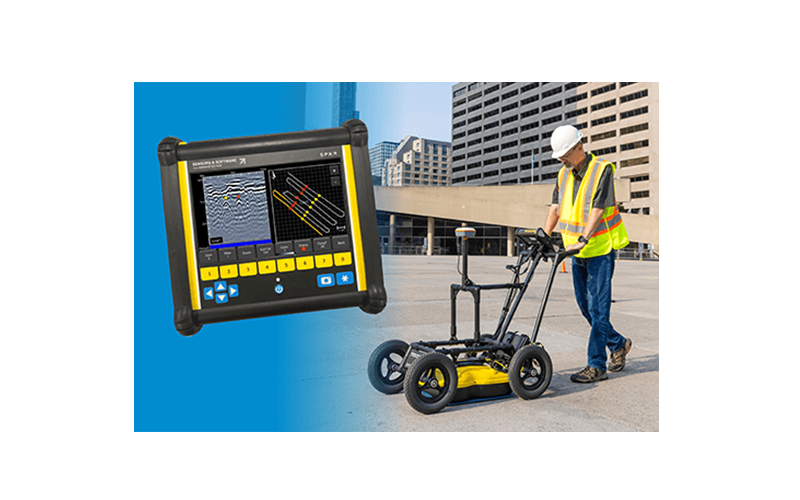
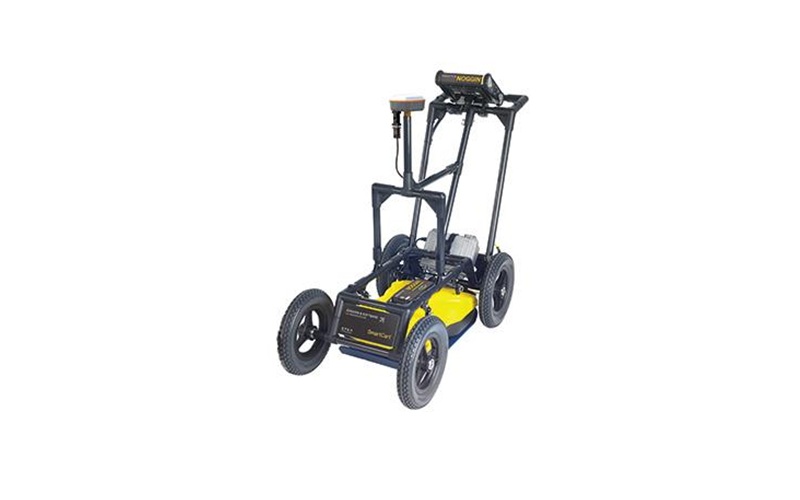
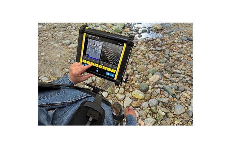
Noggin is a high-performance, configurable GPR that can be used for high resolution surveys of concrete buildings and structures, bridge decks, pavement, runways and underground mines: for moderate-depth surveys such as subsurface utility mapping, underground storage tank detection, archaeology, forensics and unexploded ordnance; and for greater depths to map geologic structures, measure depth to bedrock, glacier profiling and perform geotechnical surveys.
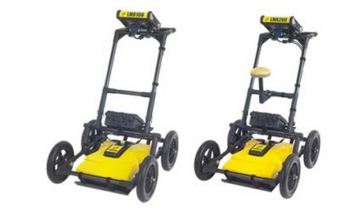
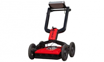
The NOGGIN family provides 5 configurations to adapt your GPR data collection to any terrain.
Field-Proven solutions
Noggin GPRs are used by researchers and practitioners to collect high quality data for a wide range of subsurface applications in challenging environments worldwide - from the equator to polar regions.
Build the system that suits your needs
Powerful yet simple data collection
User-friendly interface allows you to quickly scan lines or grids with flexible collection settings, interpret targets in real-time with color field interpretations and visualize grid scans with in-field depth slicing.
SplitView™
High Data Quality
Flexible Trigger Options
Enables the use of GPR in applications requiring different data collection methods - use an odometer to trigger at a set distance, use free run in speed or time when an odometer is not suitable, (e.g on ice or water), or manually press a button to collect data.
Ultra Technology
For deeper surveys, the Noggin Ultra 100 provides an enhanced signal-to-noise ratio, enabling the detection of weaker GPR signals at greater depths.
Optional External GNSS
No Videos uploaded for this product.