
Segments

DJI Zenmuse L2

DJI Logo
DJI Zenmuse L2
DJI Zenmuse L2
DJI Zenmuse L2
DJI Zenmuse L2

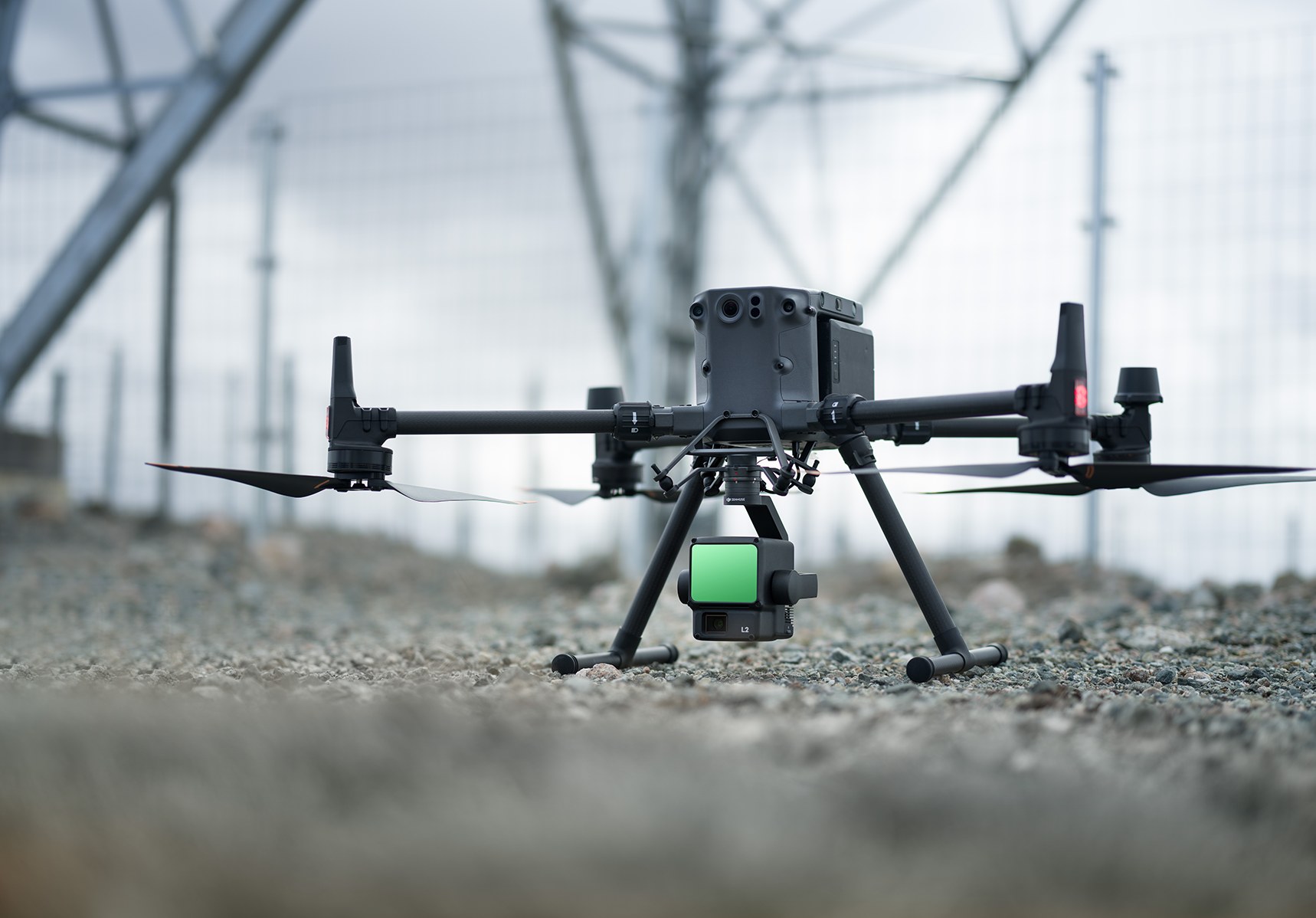
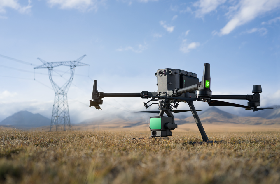
Zenmuse L2 integrates frame LiDAR, a self-developed high-accuracy IMU system, and a 4/3 CMOS RGB mapping camera, providing DJI flight platforms with more precise, efficient, and reliable geospatial data acquisition. When used with DJI Terra, it delivers a turnkey solution for 3D data collection and high-accuracy post-processing.

Applications Aerial Survey & Mapping, Inspection Drones, Positioning
Industries Civil Infrastructure, Commercial Services, Defence & Security, Oil & Gas, Utilities - Electricity and Water

High Precision

Exceptional Efficiency

2.5 km2 covered in a single flight 

Superior Penetration

Smaller laser spots, denser point clouds

Detection Range 

Turnkey Solution 

Point Cloud LiveView

One-Click Processing on DJI Terra

No Videos uploaded for this product.

Related products


OUR PRESENCE

Headquartered in Dubai, United Arab Emirates, SIGMA Enterprises combines local expertise with regional reach to deliver world-class engineering solutions, technical support, and after-sales services. Our strategically located offices and trusted network enable us to support customers efficiently across the Middle East.

With directly operated offices across UAE, Qatar and Saudi Arabia, our dedicated teams provide sales & marketing, technical consultation, training, calibration, repair, and customer support.

Beyond our office locations, SIGMA supports customers across the wider Middle East and Africa through a robust regional network and local partnerships.
Map