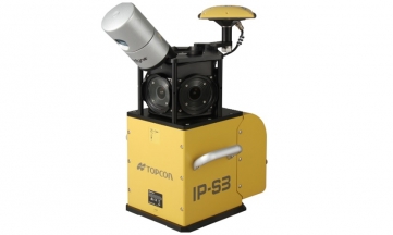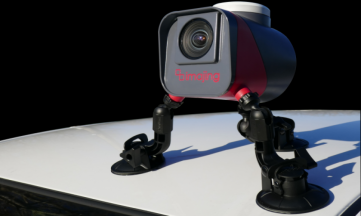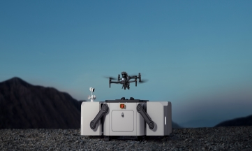
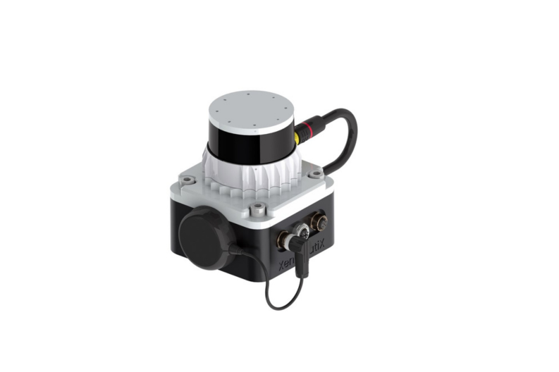
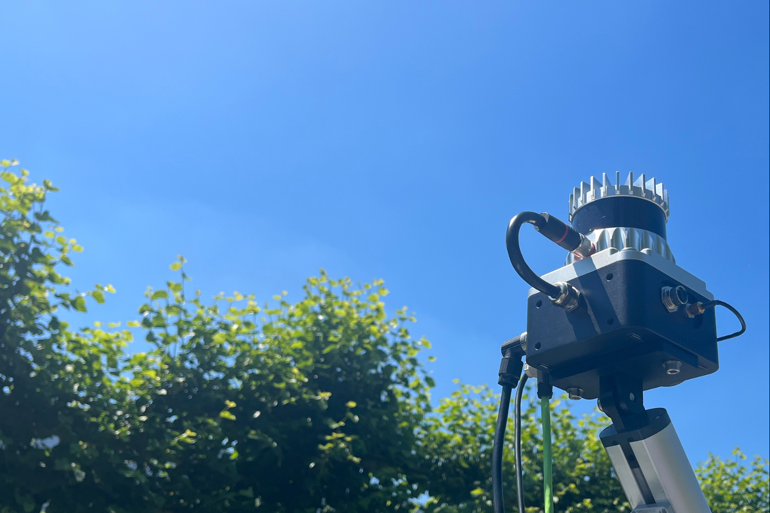
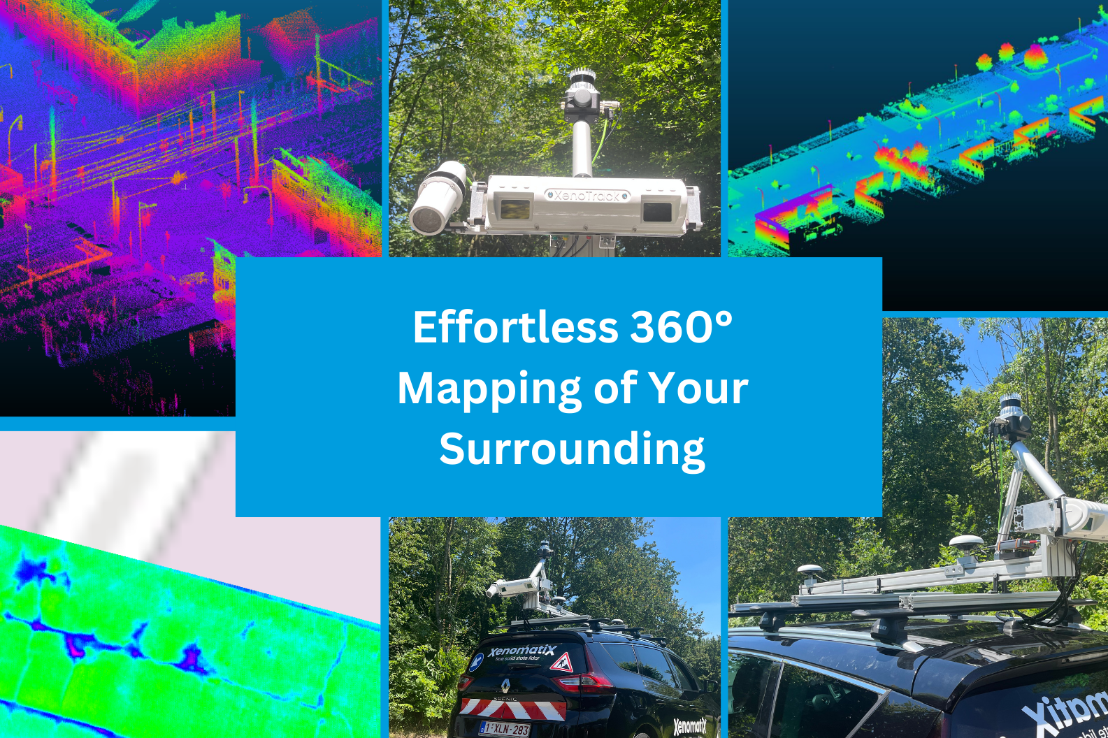
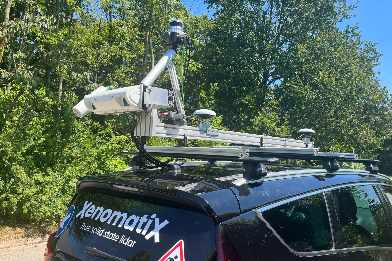
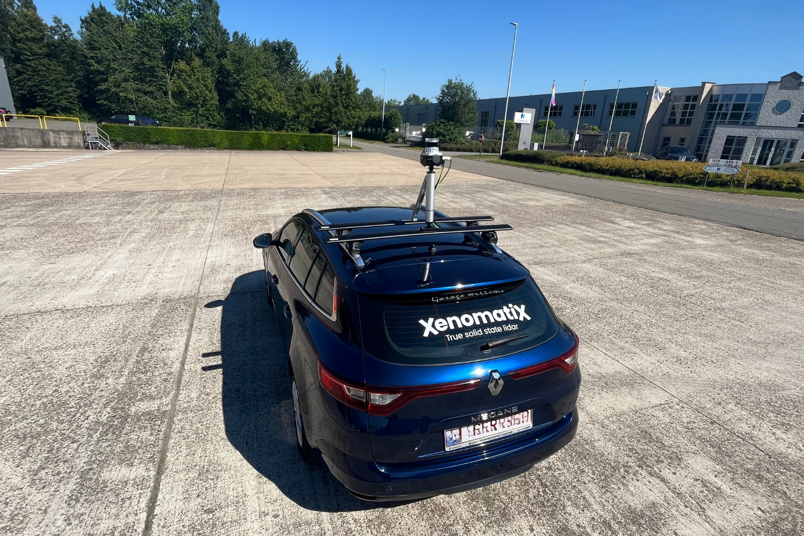
The GPC360 uses a lidar system integrated with GNSS technology, designed to gather geospatial data while in motion from a vehicle. Streamline your data collection and visualization process in minutes with the intuitive mobile mapping solution, GPC360.
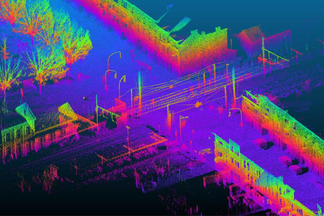
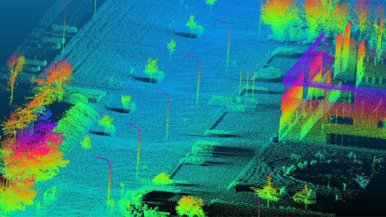
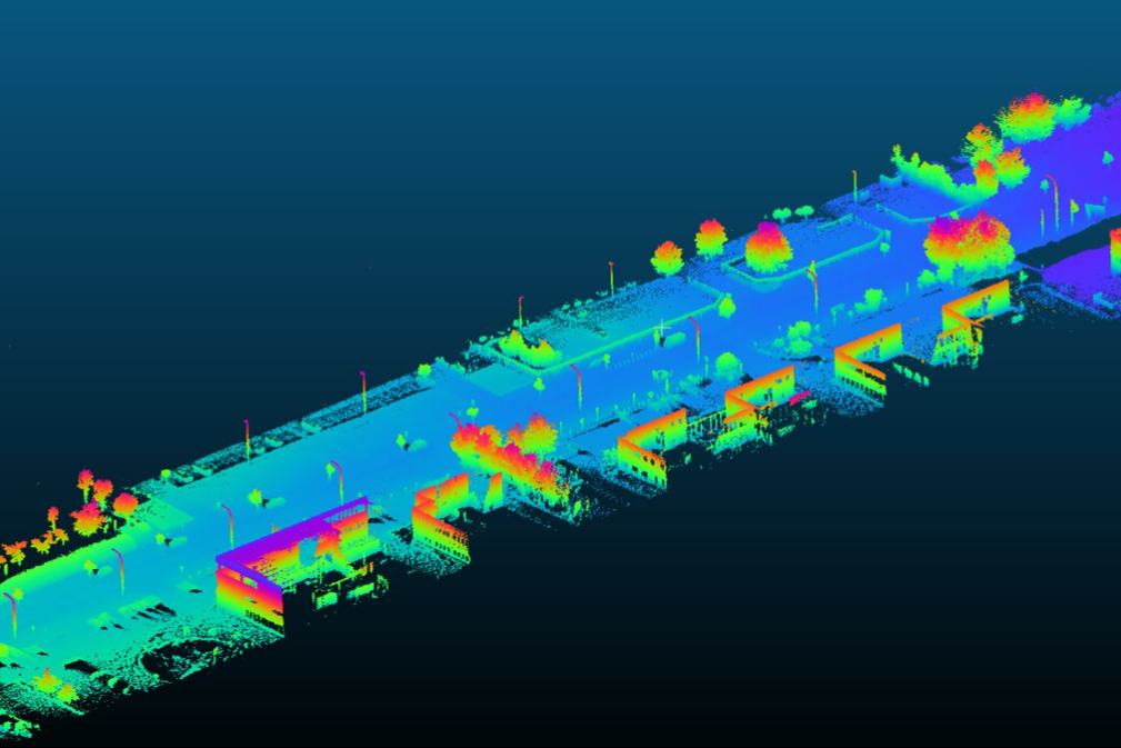
Efficiently detect, inventorize, and measure objects on the street and its surrounding environments - from
traffic signs to light poles, parking spaces, power cables to vegetation.
The system is an integrated geo-referenced solution encompassing both hardware and software.
An integrated Lidar-GNSS system which collects
geospatial detailed 3D information including location,
dimensions, and spatial relationships of the
surrounding environment.
No Videos uploaded for this product.