Laoding

Products

imajbox® Mobile Mapping System

imajbox® Mobile Mapping System

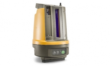
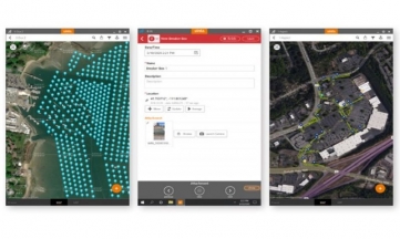
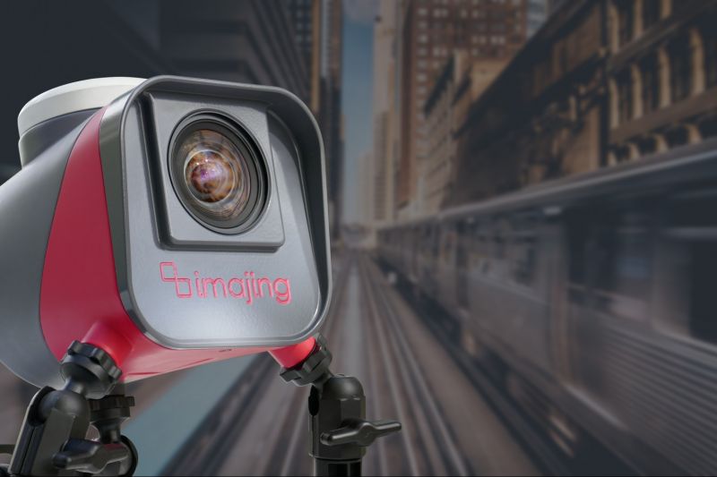
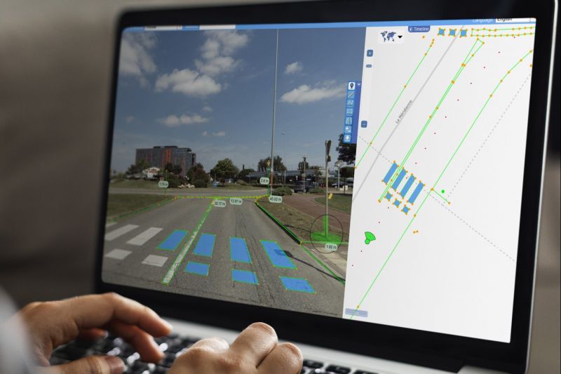
imajbox® is a compact and portable mobile mapping system designed for high-speed and massive geo-referenced data collection along with transportation and linear networks.

It can be mounted on cars, trucks, trains, or boats, imajbox® can survey up to tens of thousands of kilometers.

Punctual, recurrent, or nationwide projects, imajbox® is the perfect tool to survey a network, thus having up-to-date data.

Learn More »

Applications Land Survey, Mass Data Collection, Mobile Mapping Systems
Industries Commercial Services, Defence & Security, Education & Research

ACCURATE

  • An accurate and continuous spatial positioning made possible by proprietary algorithms, allowing the fusion of the sensors' raw data (GNSS, IMU, images).

SIMPLE

  • Independent, stand-alone, and auto-calibrated.

PRODUCTIVE

  • High-speed surveys for large scale data collection.

CONNECTED

  • Controlled by Wi-Fi and connectors for external sensors integration.

ADJUSTABLE

  • Easy mounting in all directions with the tripod's suction pads.
imajbox® Mobile Mapping System
Product Brochures

  1. imajbox3_2020_EN.pdf

Related products