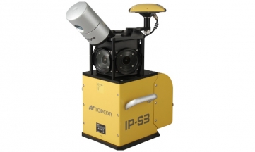
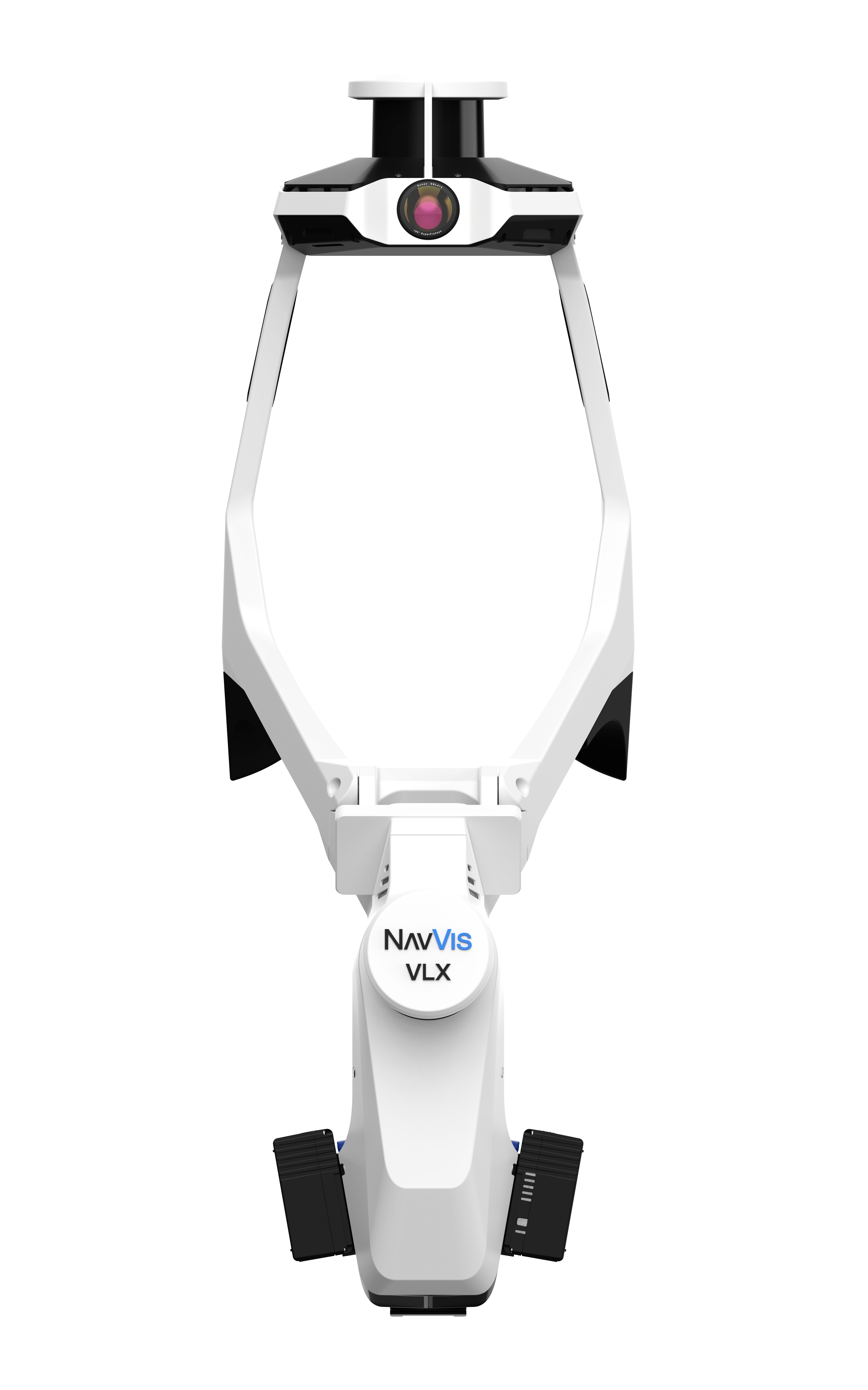


NavVis VLX 3 is the industry-leading, wearable mobile mapping system that efficiently delivers comprehensive, highly detailed reality capture data to laser scanning professionals for complex sites, both indoor and outdoor.
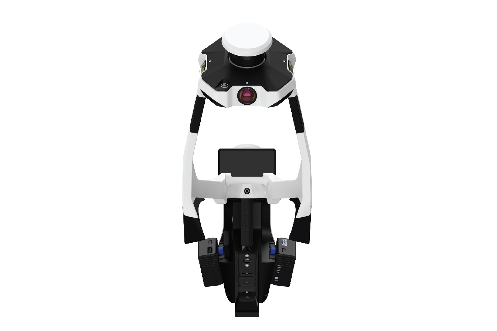
All-in-one highly - detailed reality capture - Comprehensively capture 3D measurements with two 32-layer lidar sensors in combination with groundbreaking SLAM software.
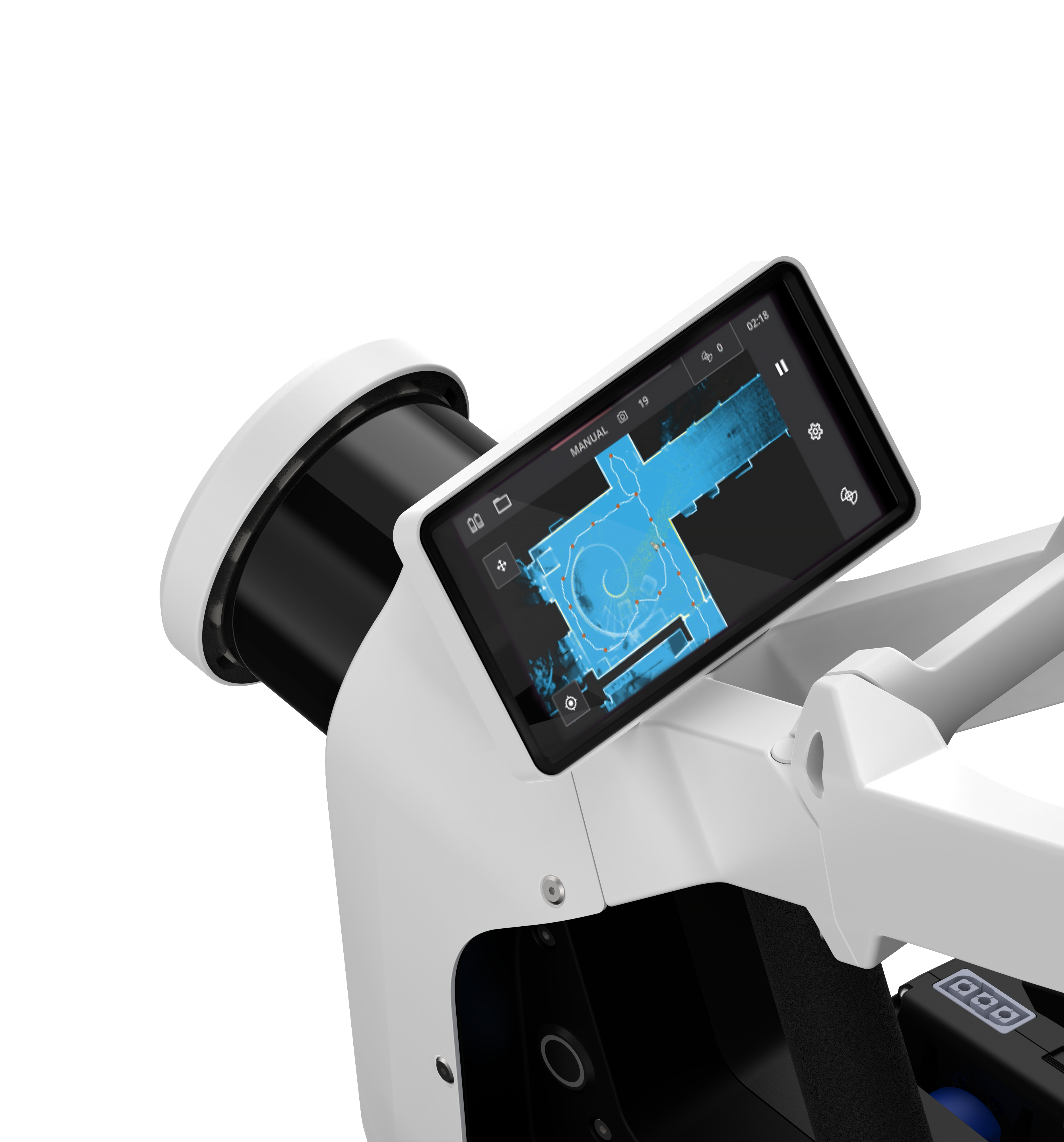
Live Scanning Feedback - Monitor your scanning progress in real time with a built-in touchscreen interface to ensure complete coverage as you move.
Precision meets ergonomics - A first-of-its-kind wearable device which enables operators to comfortably scan at the speed of walking.
Geo-registration - It’s fully compatible with standard tools in the field, and can capture control points in a local site coordinate system measured by both Total Stations and GNSS rovers.
No Videos uploaded for this product.