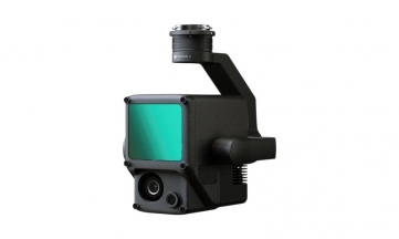
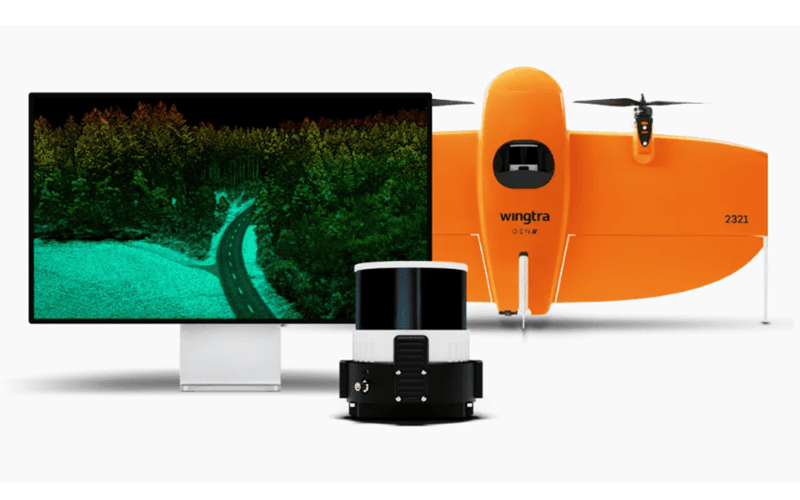
Wingtra LIDAR sets new standards aerial mapping. Experience unmatched efficiency with user-friendliness reliability to win more bids and improve construction project designs.
1. High-res topographic data to prevent rework
2. Safe data capture in hard-to-reach areas
3. Up to 40% reduction in labor and data collection time
4. Up to 5% increase in margins thanks to fewer errors
5. Coverage at 90 m 360 ha a single flight, 30% side overlap
6. Vertical accuracy down to 3cm*
7. Up to 270 pts/m2
No Videos uploaded for this product.