Laoding
Home Banner Image

WingtraRAY

WingtraRAY
WingtraRAY
WingtraRAY
WingtraRAY
WingtraRAY
WingtraRAY
WingtraRAY

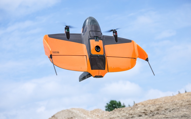
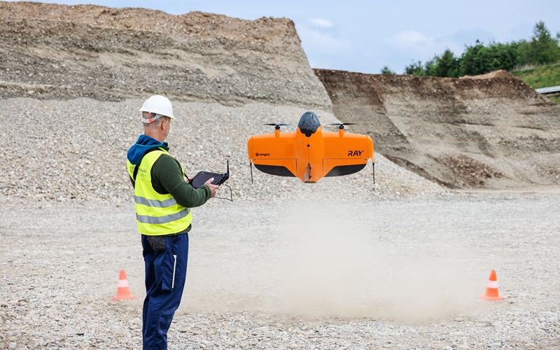
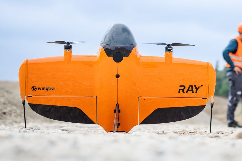
The survey drone is built for faster results and total confidence in the field. From flight planning to CAD and GIS-ready outputs—get ahead with the only aerial survey solution that keeps it all in one, connected toolchain. WingtraRAY sits tightly in a single workflow. No file conversions, no app switching. Just plan, fly, and process—all in one connected system.

LEARN MORE >>

Applications Aerial Survey & Mapping
Industries Civil Infrastructure, Commercial Services, Defence & Security, Education & Research, Mining, Oil & Gas, Utilities - Electricity and Water
Fast and cost-effective surveys
• 1360 acres per flight 
• Adaptive speed
• End-to-end workflow

Fly with peace of mind—anywhere
• Parachute for OOP 
• Obstacle avoidance 
• Backup batteries
• Dual telemetry

Take on more jobs with one single tool
• Survey urban and rural environments
• Six versatile payloads

No Videos uploaded for this product.

Product Brochures

  1. WingtraRAY.pdf

Related products